1
From San Jose just put “Dominicalito, Puntarenas” into Google Maps or Waze. (Yes, both services are owned by Alphabet but they are different). Locals tend to like Waze but some prefer the Google Maps interface. The main road has tolls but the total cost is only about US$ 4 each way.
On the way down you might want to stop at Crocodile Bridge (Google Maps: Crocodile Bridge) about 10 minutes after you get off the tollway.
https://www.cnn.com/travel/article/crocodile-bridge-costa-rica-tourists/index.html
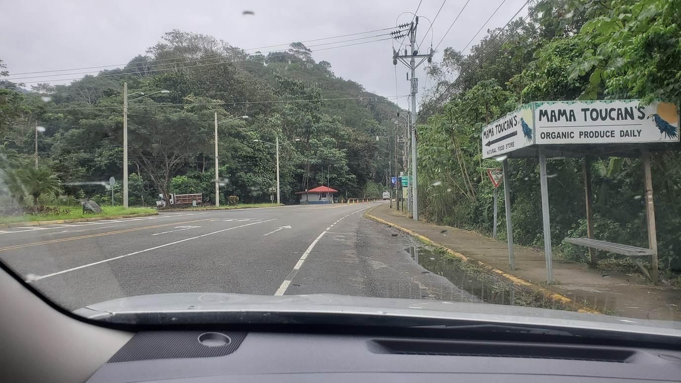
As you near Dominical (4 km before Dominicalito) you will see this:

2
Keep straight on the main road (Highway 34) for about 4.5 km. You will see signs for Dominicalito.
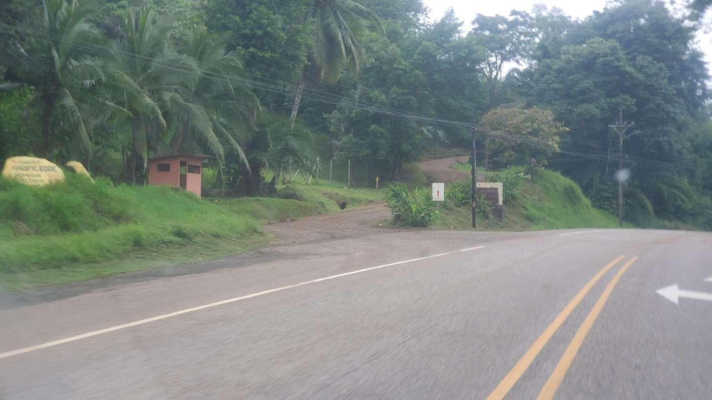
At the end of a long straightaway after the Dominicalito signs you will then see this:

3
Turn left onto that road and then go up hill for about 500 meters until you come to the guarded entry gate for the project on the right side of the road:
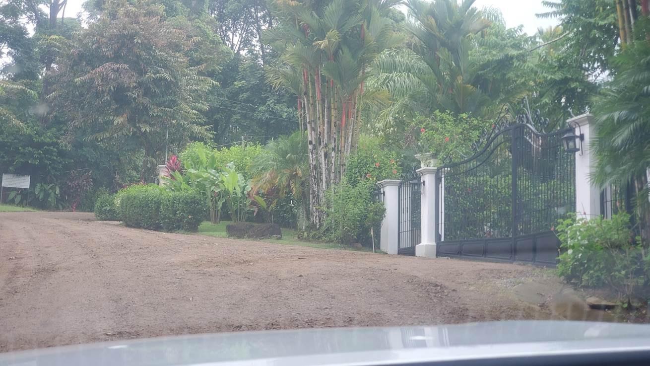

4
Once you are inside the gate bear left and go downhill about 100 yds until at the bottom you come to this:

5
At that fork, turn left into the jungle. Proceed about a km until you come to this guard shack:
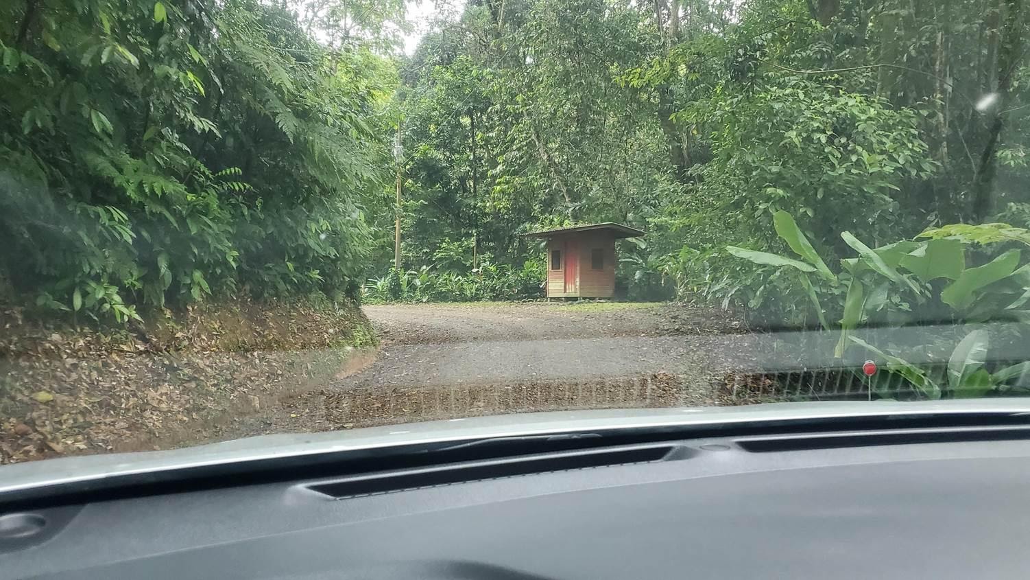

6
After the guard shack the road going straight ends in about 30 yds. You will want to shift to 4WD low and turn about 60 degrees left uphill:
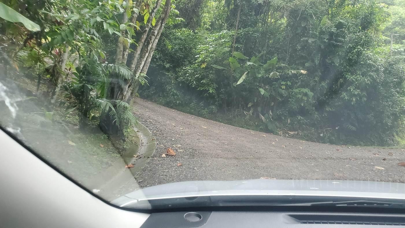

7
Do NOT take the left. Go right instead and this is what you will see:
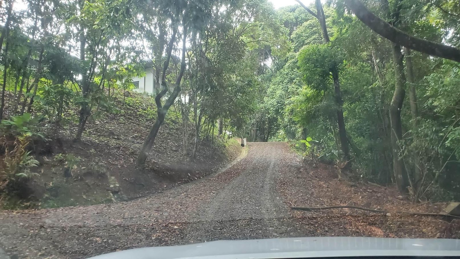

8
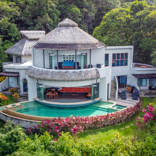
Go straight up. At the top of the hill is Casa Atardecer.
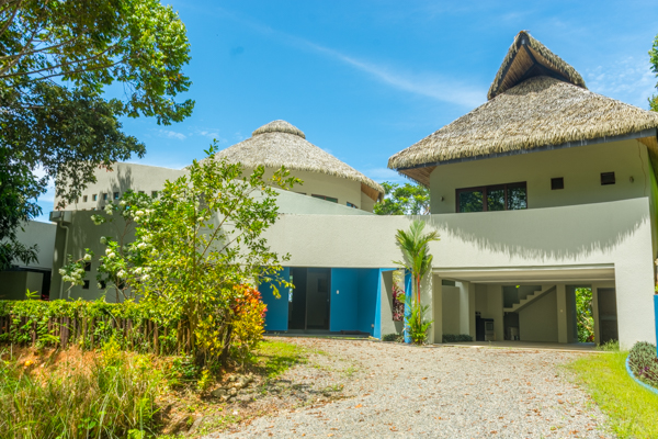
Google Earth View
9.225598217948715, -83.83337624788543

Our
Location:
Home Coordinates: 9.225598217948715, -83.83337624788543
Property Manager:
Ignacio Valle – tekoa@villasbytekoa.com, ignacio@villasbytekoa.com
Concierge:
Olmer – concierge@villasbytekoa.com
WhatsApp (please download): +506 8676 4309
